3D Laser Scanning · London & UK
We scan. We process.
We deliver model-ready data.
High-accuracy laser scanning with registered, cleaned point cloud data delivered in the exact format your software needs: Revit, ArchiCAD, SketchUp or AutoCAD. Open it and start modelling.
- Scan accuracy
- <6 mm @ 10 m
- Delivery formats
- E57 · RCP · RCS
- Point cloud turnaround
- 3–5 days
- Experience
- 8+ yrs London & UK
Process
How It Works
From first enquiry to data in your software: three steps, one fixed price.
Brief & Quote
Tell us about your project: building address, size, what you need. We provide a fixed-price quote promptly. No hidden costs, no surprises.
Site Scan
Our surveyor captures your property with 3D laser scanning equipment. Most residential buildings are completed in a single visit.
Your Data, Ready to Use
Point cloud data in the format your software needs (RCP for Revit, E57 for ArchiCAD), or 2D drawings as DWG with PDF copies for easy review.
Services
Scanning first.
Everything else optional.
Our core service is laser scanning with point cloud delivery. If you need drawings or a model instead, we produce those from the same scan data.
3D Laser Scanning & Point Cloud
Registered, cleaned point cloud data delivered in the exact format your design software needs. Ideal for architects and designers who want full control over their modelling workflow: you get the measured data, you build the model.
2D CAD Drawings
Accurate floor plans, elevations, sections, and reflected ceiling plans as AutoCAD DWG files. Perfect for planning applications and refurbishment projects.
Learn More3D SketchUp Model
We convert laser scan data into a clean 3D SketchUp model of your building, ready for design development, visualisation, and client presentations.
Learn MoreDeliverables
What Lands in Your Inbox
Clean, ready-to-use survey data. No conversion headaches, no unusable defaults.
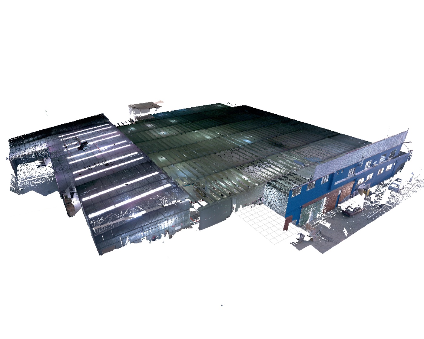 E57 / RCP
Point Cloud Data
High-density, registered point clouds delivered in E57, RCP, or XYZ formats ready for your software.
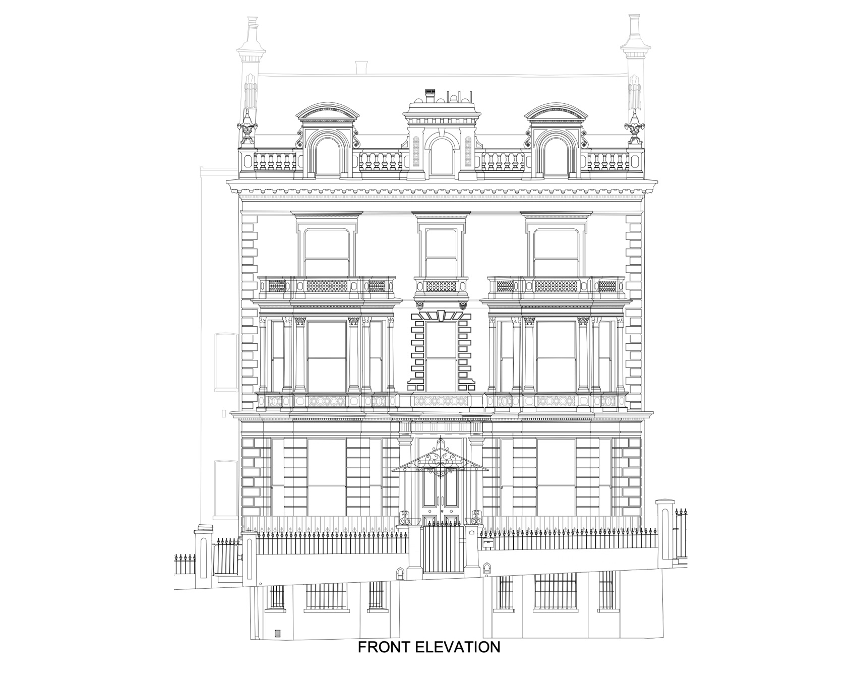 DWG
DWG
2D CAD Drawings
Accurate floor plans, elevations, and sections drafted in AutoCAD for planning and design.
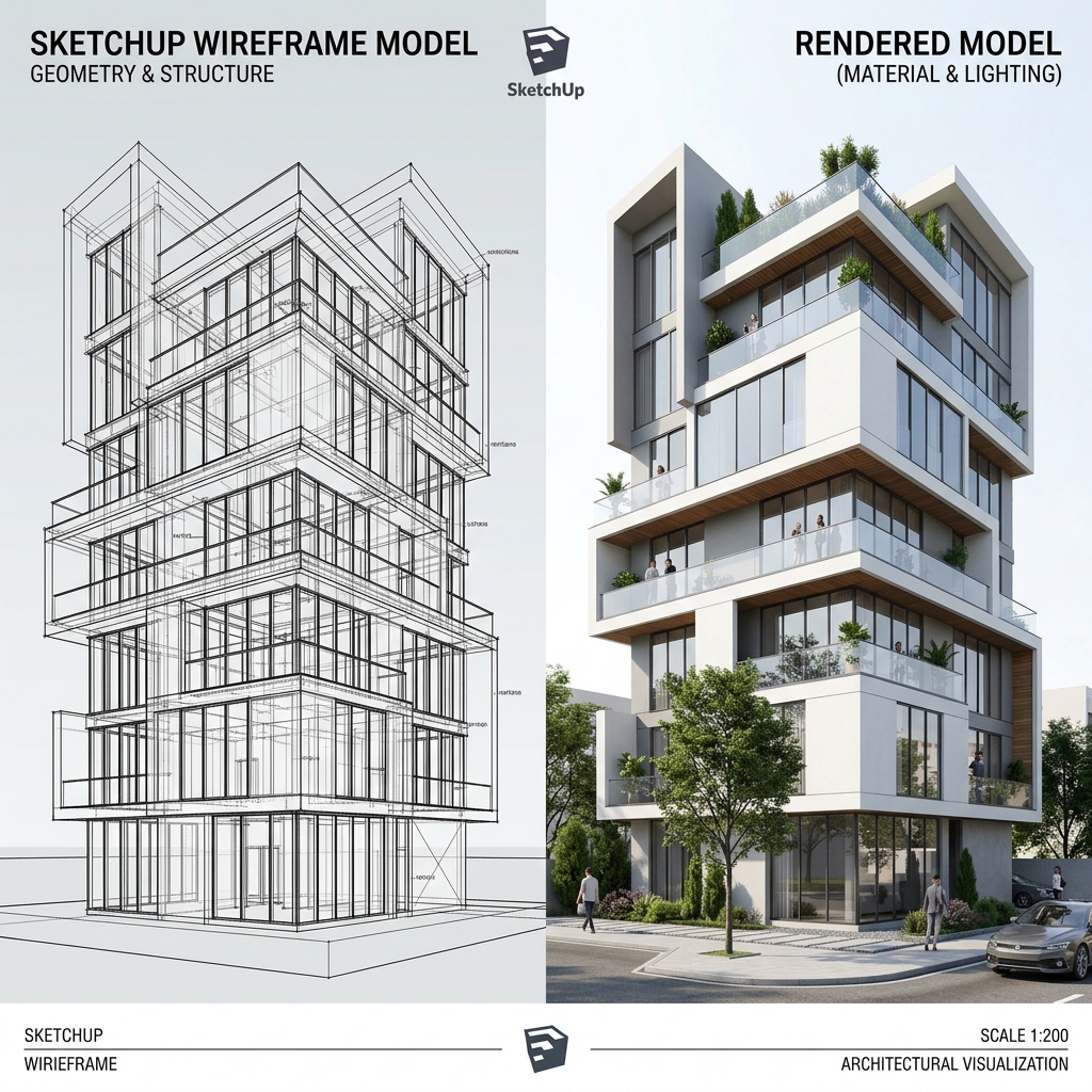 SKP
SKP
3D SketchUp Model
Clean, textured or untextured 3D models ideal for visualisation and conceptual design development.
In Motion
Point Clouds in Motion
Short clips from our YouTube channel showing real scan data from London projects.
Compatibility
Works with Your Design Software
Most surveyors deliver one default format and leave the conversion to you. We deliver data that opens straight in your tool of choice.
| Software | Format We Deliver | Best For |
|---|---|---|
| Autodesk Revit | RCP via ReCap | BIM modelling, scan-to-BIM |
| ArchiCAD | E57 | Architectural design, renovation |
| SketchUp | E57 | Conceptual design, visualisation |
| AutoCAD | RCP | 2D drafting from point cloud |
Don't see your software? Contact us and we can export in most standard point cloud formats, and additional formats from the same scan are free.
Clients
Who We Work With
Architects
Planning extensions, refurbishments, and conservation projects
Interior Designers
Creating accurate spatial layouts for residential and commercial fit-outs
Structural Engineers
Requiring precise as-built documentation
Property Developers
Needing measured surveys for planning applications
Heritage Consultants
Documenting listed buildings and conservation areas
Construction Contractors
As-built verification and clash detection
About Us
Precision technology, practical surveying
3D Building Survey Ltd has been providing laser scanning and measured building surveys across Greater London since 2018. With over 300 completed projects, from Victorian terraced houses to multi-storey commercial buildings, we deliver data that architects and designers can rely on.
Read More About UsReady to get started?
Tell us about your project and receive a fixed-price quote promptly.